

Polarity Flight Services LLC
Elevate your
perspective.
Aerial photo and video
for the Wiregrass.
Based in Enterprise, AL. Serving the Wiregrass and surrounding areas.
- Based in Enterprise, AL. Serving the Wiregrass and surrounding areas.
- 50 MP / 4K aerial imagery
- We reply to quote requests promptly
- FAA Part 107 Certified
- AUVSI Trusted Operator Certified
- Fully Insured
- Veteran-Owned
01 — Services
Services
Photo and video for properties, roofs, job sites, and land.
01
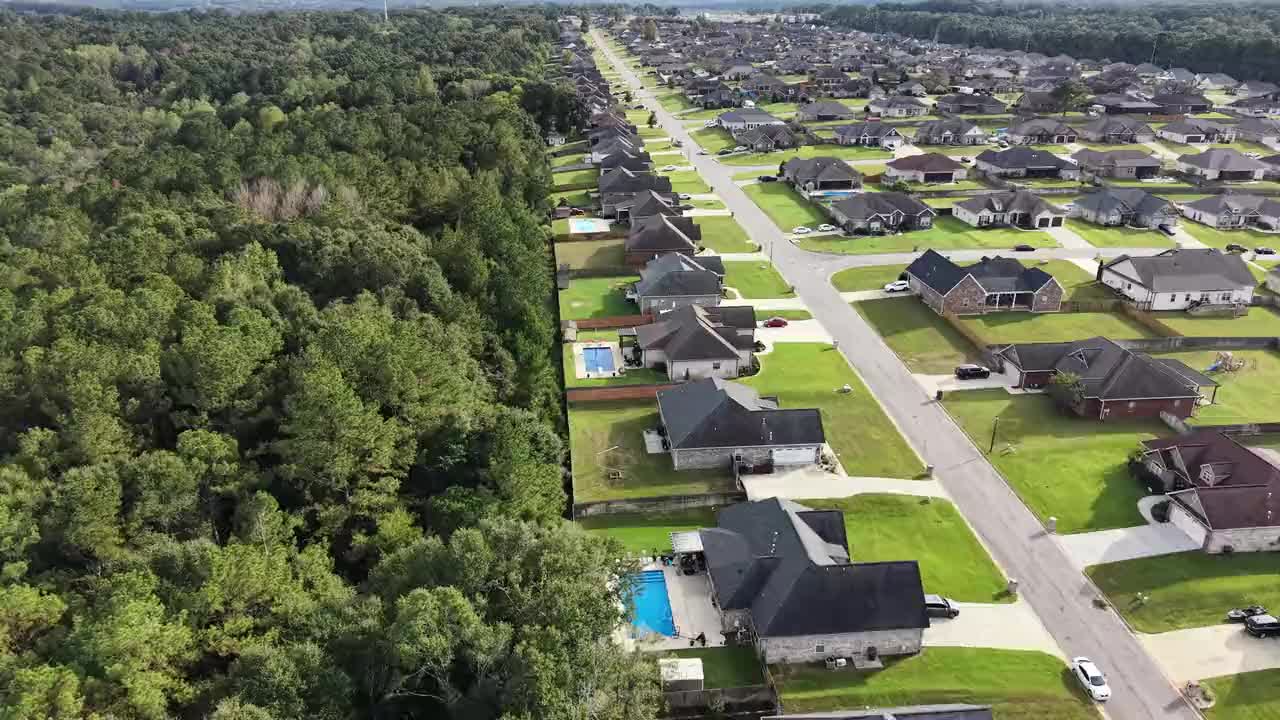
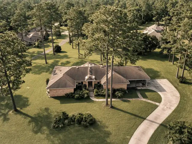
Real Estate & Property Aerials
Listing photos and video that show the home, the lot, and the surroundings.
02
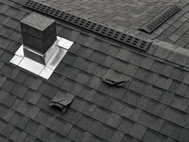
Roof & Exterior Visual Inspections
High-resolution photo and video of roofs, facades, and hard-to-reach areas, without ladders.
03
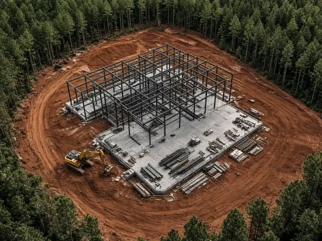
Construction Progress Photo & Video
Repeatable flights from the same vantage points for side-by-side progress comparisons.
04
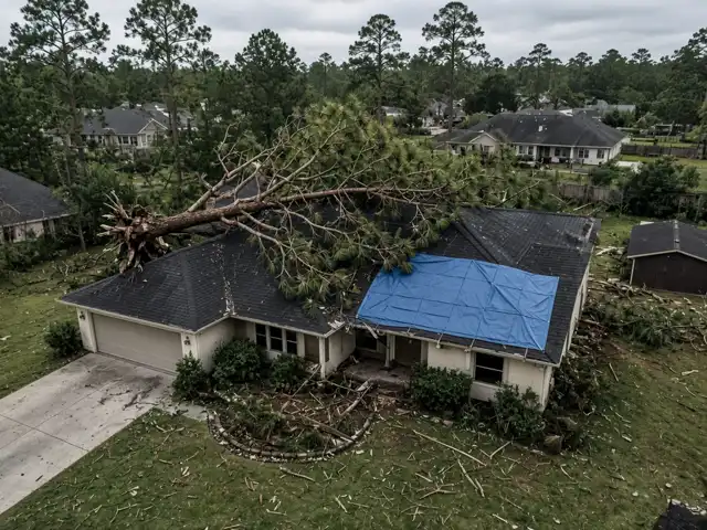
Storm & Insurance Documentation
Dated photo and video records of roof and property condition before and after storms, for owners, roofers, and adjusters.
05
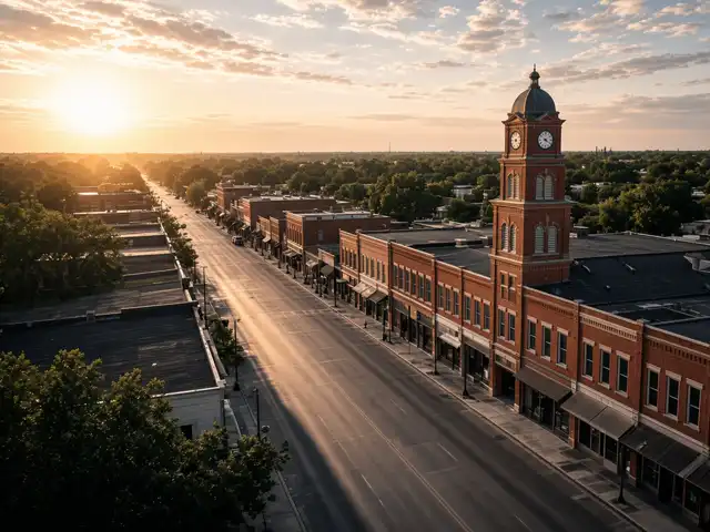
Marketing & Social Media Video
Cinematic 4K aerial footage plus vertical clips for social media.
06
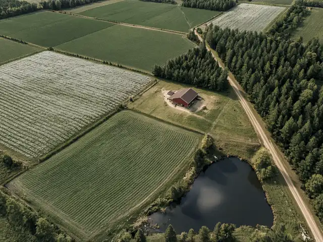
Land, Acreage & Farm Aerials
Property overviews, acreage, and farm documentation.
07
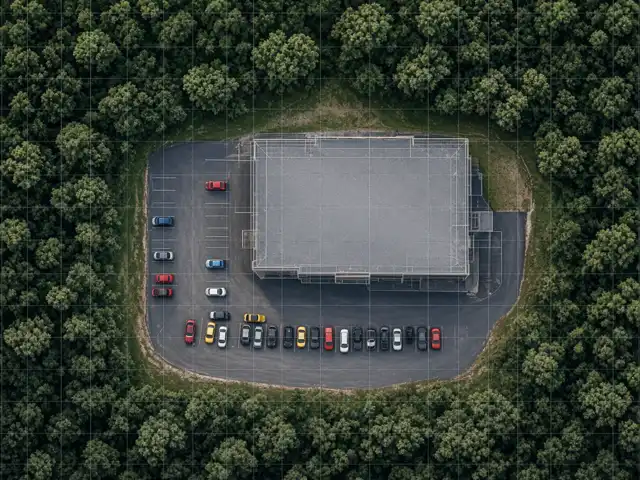
Aerial Maps & 3D Models
Orthomosaic maps and 3D models for planning and visualization. These maps and models are not survey-grade.

08
360° Panoramas & Time-Lapse
Interactive aerial panoramas and time-lapse sequences.
02 — Process
How a project goes
01
Request
Tell us the site, the service, and the timing you have in mind.
02
Plan
The location, access, weather, and airspace are reviewed for that project.
03
Fly
The flight is made for the pictures, the route, or the sequence you need.
04
Deliver files
You receive the photo, video, or map files from the flight.
03 — Coverage
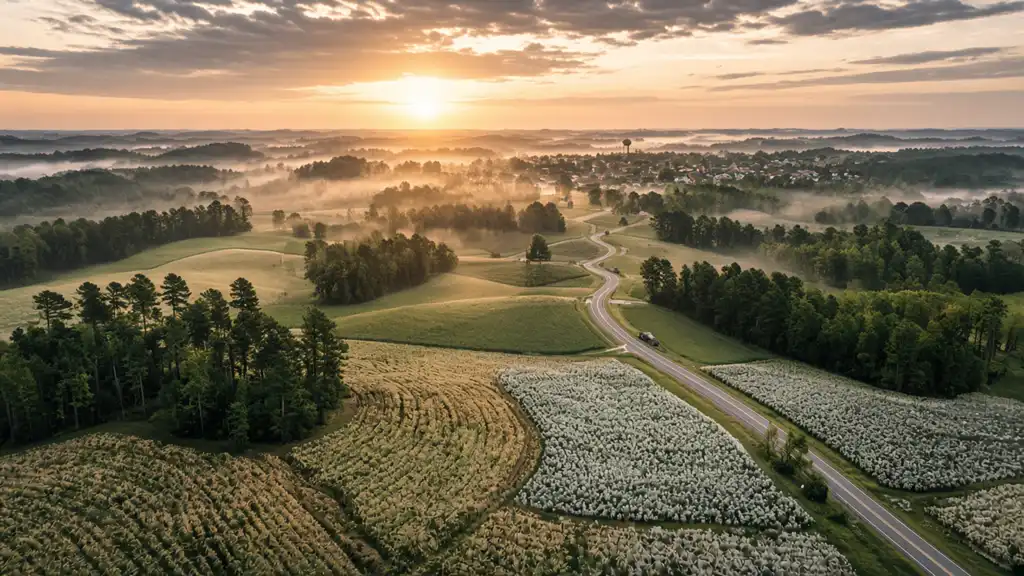
Serving the Wiregrass
Based in Enterprise, AL. Serving the Wiregrass and surrounding areas.
Towns in the area include Dothan, Ozark, Daleville, Troy, Andalusia, Opp, Elba, and Geneva.
Project outside the area? Ask, and we'll let you know.
04 — Questions
FAQ
What should I send for a quote?
The site, the service, and the timing you have in mind. A city or a short site description is enough to start.
What happens if the weather is poor?
Flights are planned around the weather. A day that is not workable is rescheduled.
What files do I get?
Photos, video, or map and model files for the service you booked. Maps and 3D models are for planning and visualization. They are not survey-grade.
Where do you fly?
Based in Enterprise, AL. Serving the Wiregrass and surrounding areas. Towns in the area include Dothan, Ozark, Daleville, Troy, Andalusia, Opp, Elba, and Geneva. Project outside the area? Ask, and we'll let you know.
Who handles airspace authorization?
Airspace authorization is handled per project. A flight is set when that project can be flown.
Are you certified and insured?
Yes. The pilot is FAA Part 107 certified and AUVSI Trusted Operator Certified, Remote Pilot, Level 1. The company is fully insured.
How do I reach you?
Call (912) 800-1606 or email pfs.flights@gmail.com. We reply to quote requests promptly.
05 — Quote
Get a quote
Tell us the site, the service, and the timing you have in mind. We reply to quote requests promptly.
Project outside the area? Ask, and we'll let you know.

06 — Pilot
About the pilot
The pilot behind Polarity Flight Services LLC is a retired U.S. Army veteran with 22 years of service. He has flown the AH-64 Apache since 2012 and still works as a contractor instructor pilot.
Drone jobs are planned the same way: the route, the safety checks, and the airspace for each site. The work is aerial photo and video for homes, roofs, job sites, land, and short marketing clips.
FAA Part 107 Certified. AUVSI Trusted Operator Certified, Remote Pilot, Level 1. Fully Insured. Veteran-Owned.
Based in Enterprise, AL. Serving the Wiregrass and surrounding areas.